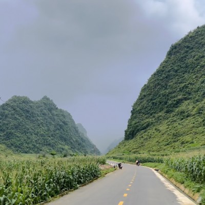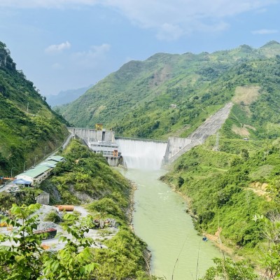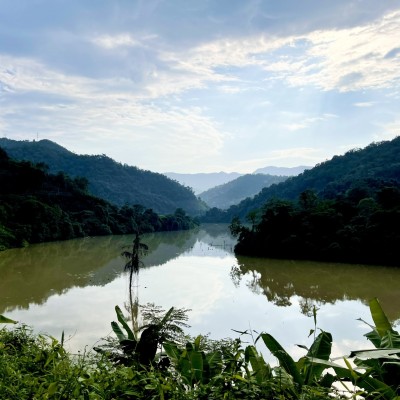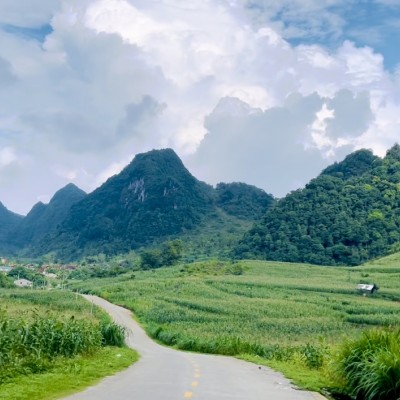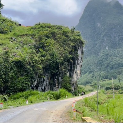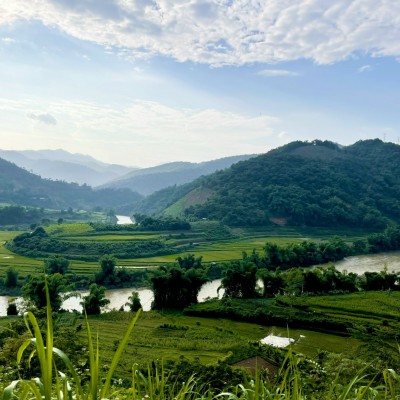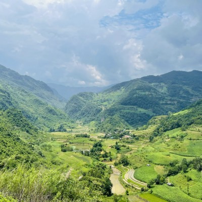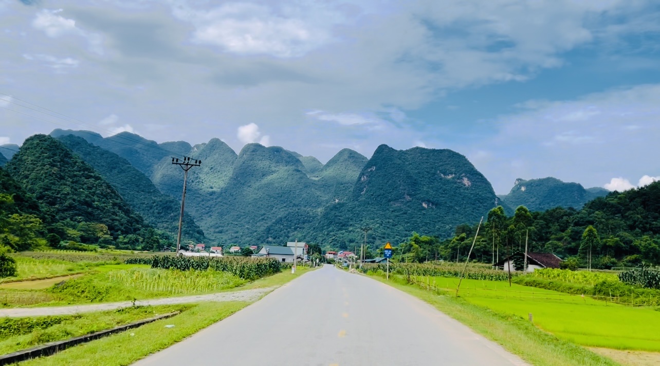
Cao Bang Province is located in the Far North - East, 272km from Hanoi following National Highway No.3, shares borders with China on the north and east, Bac Kan and Lang Son provinces on the south, and Ha Giang and Tuyen Quang provinces on the west. The topography is complicated so inter-transportation is limited.
The cool weather combines with many high mountains, beautiful sightseeing to form the convenient for relaxing tour and discovery tour. Famous sites include Thang Hen Mountainous Lake in Tra Linh, Ban Gioc Fall and Nguom Ngao Cave in Trung Khanh. Among of them, Ban Gioc Fall probably is one of most beautiful waterfall in Vietnam. Several sites where Uncle Ho lived and worked before the August 1945 Revolution include Pac Bo, Coc Bo Cave, Lenin Stream, and Khuoi Nam Stream. In Cao Bang, the traditional festivals have specific characteristics of ethnic groups, for example, Long Tong Festival, Inviting the-Moon-Mother Festival (Moi Me Trang).
Home to a UNESCO-recognized geopark and Southeast Asia's largest waterfall, Cao Bang remains off the beaten track and less busy than neighboring Sa Pa or Ha Giang.
BEST TIME TO VISIT
Cao Bang has a subtropical climate affected by a high-mountain continental monsoon. The climate is divided into two main seasons: the rainy season and the dry season.
- The rainy season runs from April to September. The average temperature is 20 – 32 degrees Celsius with the hottest months being June and July.
- The dry season lasts from October to March. The weather gets low humidity with mild temperatures ranging between 8°C and 18°C.
The best time to visit Cao Bang is February – March or September – October, given that the temperature is warm and pleasant and there is little rainfall.
If you want to see white frost and ice covering mountainous areas in Phia Oac, the second highest peak in Cao Bang, you better come there from November to January as the temperature could drop to below zero degree Celsius.
WHAT TO EXPLORE
For a three-day itinerary in Cao Bang, here are some places not to be missed.
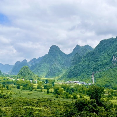
The first place during your journey should be Non Nuoc Cao Bang, a geopark founded in 2015 and covers 3,000 square kilometers.
Its collection of fossils, sediment, volcanic rocks and karst landscape is believed to illustrate 500 million years of the earth’s history.

Once a remote and lesser-known destination on the tourism map, Non Nuoc Cao Bang, which literally means mountains and water of Cao Bang, catapulted to global fame since it was declared a new global geopark by UNESCO in 2018, making it the second of its kind in the country after Dong Van Plateau in Ha Giang Province.
With 90-percent mountainous terrain, the area is inhabited by nine different ethnic minority groups, including the Nung, Tay, Hmong, Dao and San Chay.
Inside the geopark are scenic spots like Ban Gioc Waterfall, Pac Bo Cave, Thang Hen Lake and Phia Oac eco-tourism area.
Pac Bo Cave (also known as Coc Bo) is named after a small village in Cao Bang that served as President Ho Chi Minh's residence in the winter of 1941 following his return after 30 years in exile. It has become a popular tourist attraction with the Ho Chi Minh Shrine, Lenin Creek and Karl Marx Peak.
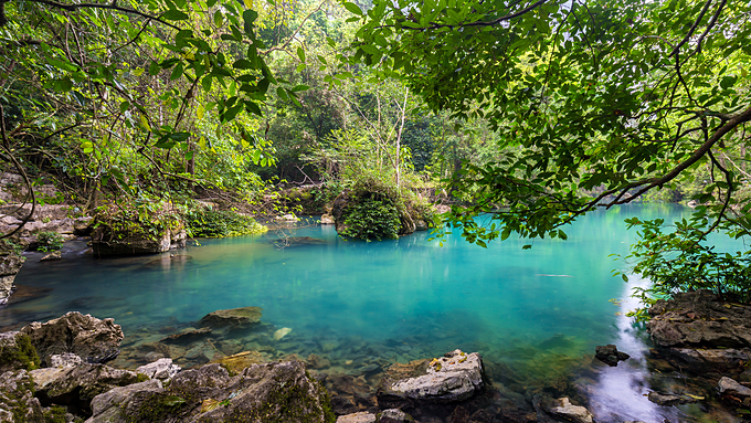
The first thing that catches the eyes of visitors is the turquoise water of the famous Lenin Creek with the signboard that said President Ho Chi Minh used to sit there fishing after work in 1941.
Swimming is strictly forbidden in Lenin Creek as it is sacred to Vietnamese.
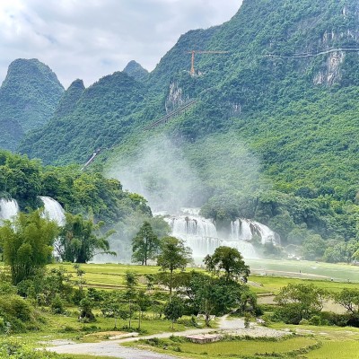
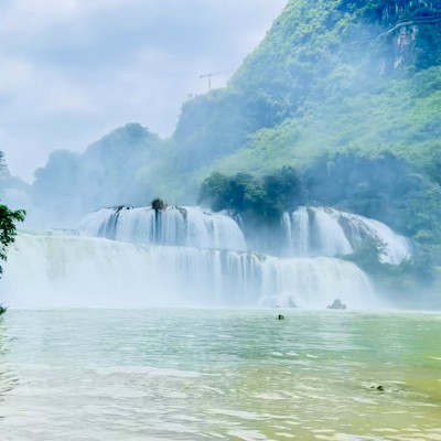
Ban Gioc Waterfall, which straddles the China border 30 kilometers from the central market of Cao Bang's Trung Khanh District, is the largest waterfall in Southeast Asia and the world’s fourth largest along a national border after Iguazu, Victoria and Niagara.
The waterfall is 53 meters high and 300 meters wide and has three levels of smaller waterfalls.

Three kilometers from Ban Gioc Waterfall lies Nguom Ngao, a stunning cave with stalactites in various shapes and sizes.
Created by an underground river, it runs several kilometers and was where villagers sheltered during the country's 1979 border war with China.
It takes around one hour to walk through Nguom Ngao. Locals discovered the cave in 1921, but it was not opened to tourists until 2006 when paths were built for visitors.
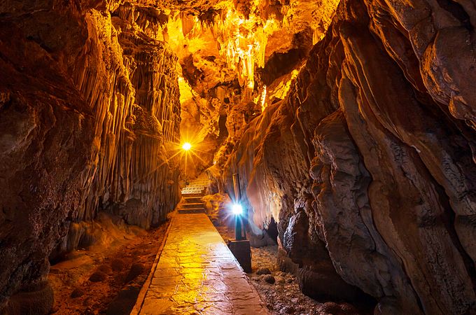
In the language of the Tay ethnic minority group, "Nguom Ngao" means tiger cave. It is believed that this cave used to be a habitat for tigers, hence the name.
Based on data published by British Caving Association in 1995, Nguom Ngao has a total length of 2,144 meters with three main entrances and thousands of caverns. Inside is a collection of tiny limestone cliffs and unique stalactites that took millions of years to form.
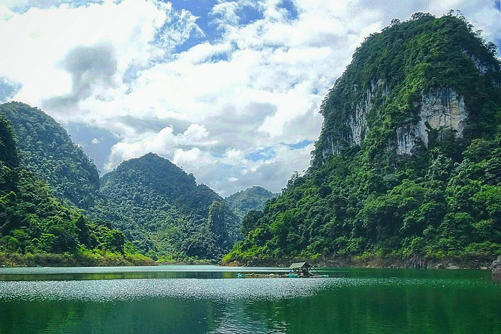
Thang Hen Lake is 30 kilometers north of Cao Bang's capital town, but since the road there is twisting, it can take around an hour to reach.
The lake is made up of 36 smaller lakes that are all connected through caves and underground passageways.
During the dry season the water level drops, showing the 36 distinct lakes. The best time to visit is the monsoon season (from May to October) when the water level rises and links all of them into one big lake.
Unlike other lakes that turn brown during the rainy season, Thang Hen stays blue all year round since it is fed by clear pure water from a cave above.
At a height of 1,931 meters above sea level, Phia Oac mountain is the second highest mountain in the province after Phia Da.
During the winter season from November to January, tourists always flock to the mountain range to admire the white frost as temperatures plunge to sub-zero
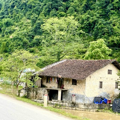
Cao Bang is dotted with small villages hidden in valleys, the countryside and mountains with some even dating back to French colonial times. You can visit Phia Thap Village to see the traditional way of making incense or Pac Rang Village, famous for its blacksmiths.
The incense making craft of the Nung ethnic minority in Phia Thap Village has a long history.
Phia Thap incense is made entirely from natural materials, including bamboo, the bark of the cotton tree and sawdust and the leaves of a wild tree named "bau hat" to make the glue for bonding the materials together.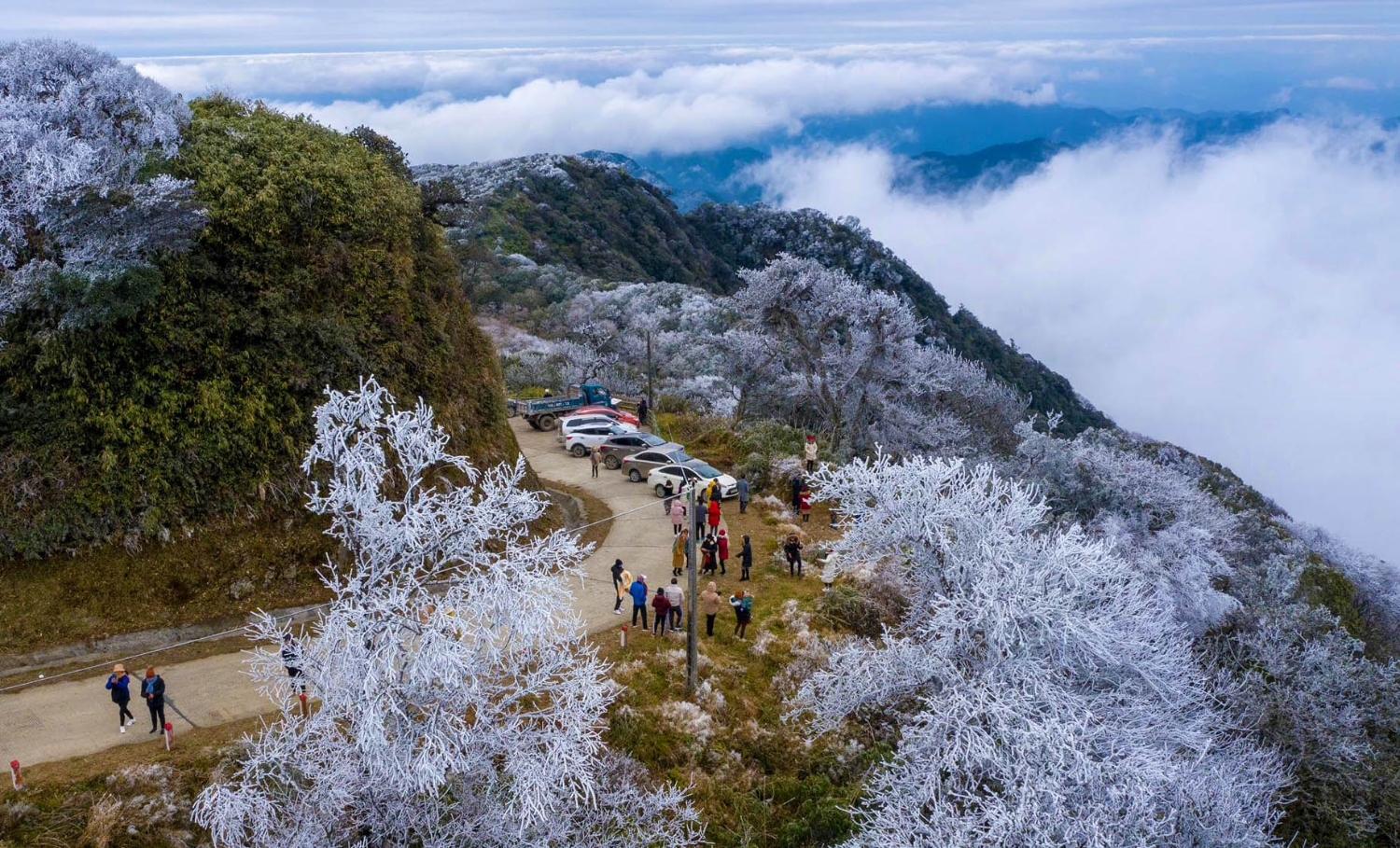
A local said after drying the sticks they would dye their bottom red and tie them into bundles to sell in mountain markets. Visitors can buy three bundles for VND10,000 ($0.43).
Nestled at the foot of Phja Cao Mountain in Ha Lang District, around 100 kilometers from downtown Cao Bang, Na Vi Village is surrounded by the green color of bamboo groves and rice fields. This area is close to Quay Son River, forming a natural border with China to the north.
The village is home to 100 ethnic Tay families living in centuries-old stone houses. Na Vi is one of the few places to retain traces of Mac Dynasty (1527-1595), a royal family in Vietnam’s feudal history. Local authorities plan to develop community-based tourism in the locality.
WHAT TO EAT
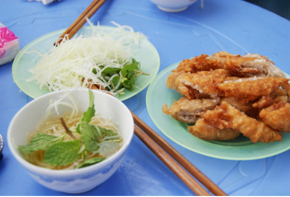
Banh ap chao, or fried duck meat cake, is a popular street food in Cao Bang.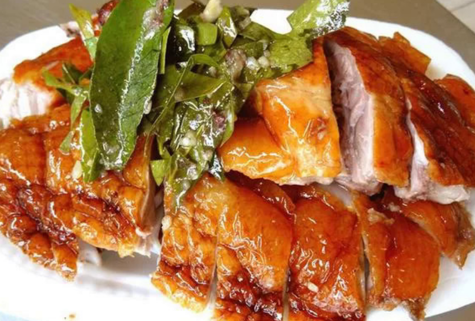
Vit quay bay vi, or roasted duck with seven flavors, is another famous culinary specialty of Cao Bang.

Sour pho is a specialty one should not miss in Cao Bang. This dry pho is different from the southern version thanks to a combination of herbs, roasted peanuts, pork, duck, and a sour sauce made from lime.
VN Adventure- source from VNExpress
